The Web Feature Service (WFS) command provides an ability to fetch GIS data from on-line sources as a means to quickly and easily construct vector map data in and around an area of interest.
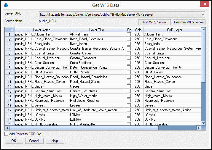
Server URL:
Select the desired Uniform
Resource Locator (URL) from where the geographical data will be
obtained. The default URLs include:
Server Name: A read-only label identifying the name of the WFS server.
Add WFS Server: When clicked, the URL of a WFS server may be input that is subsequently added to the Server URL drop-list.
Remove WFS Server: Deletes the currently selected WFS Server from the
Server URL drop-list. Prior to the removal
of the WFS Server, a confirmation alert box will be displayed
asking for confirmation. Any data previously placed into a drawing
from the WFS Server will remain in the drawing.
Add Points to CRD File: When enabled
and if point data exists for the selected layer, those points will
be added to the current coordinate file.
Retrieved Feature(s): As a WFS Server is selected, its list of Features is returned for further manipulation:
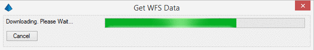
After layers have been selected, click OK and the data
for each will be imported.
Pick first corner of bounding box: Indicate one corner of a rectangular box that identifies your area of interest.
Pick second corner of bounding box:
Indicate the other corner of a rectangular
box that identifies your area of interest.
Pulldown Menu Location(s): GIS Data
Keyboard Command: getwfsdata
Prerequisite: Internet connection, Coordinate System
Projection set through Drawing
Setup