
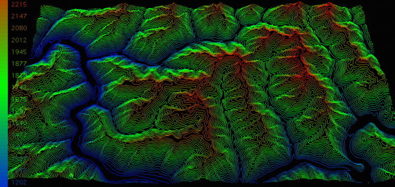
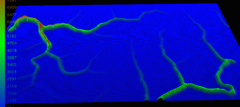
This command creates a grid model of the drainage area above
each node. A grid of the surface is used for input. For each grid
node, the program calculates the drainage area above this node. The
Max Local Minimum Depth is used to merge drainage areas that have a
depth less than this specified value. The units of the area grid
are square units of the horizontal dimension of the surface grid.
When the surface grid is in feet, the area grid values are in
square feet. Likewise a surface grid in meters will make an area
grid in square meters. The values of the area grid can get very
large and difficult to view in 3D. To handle these large values,
you can use Grid File Utilities math functions to scale down the
values.
Pulldown Menu Location: Watershed > Watershed By Grid
Surface
Keyboard Command:
watergrd
Prerequisite: surface GRD file