Pulldown Menu Location: Drillhole
Keyboard Command: chimport4
Keyboard Command: chimport4
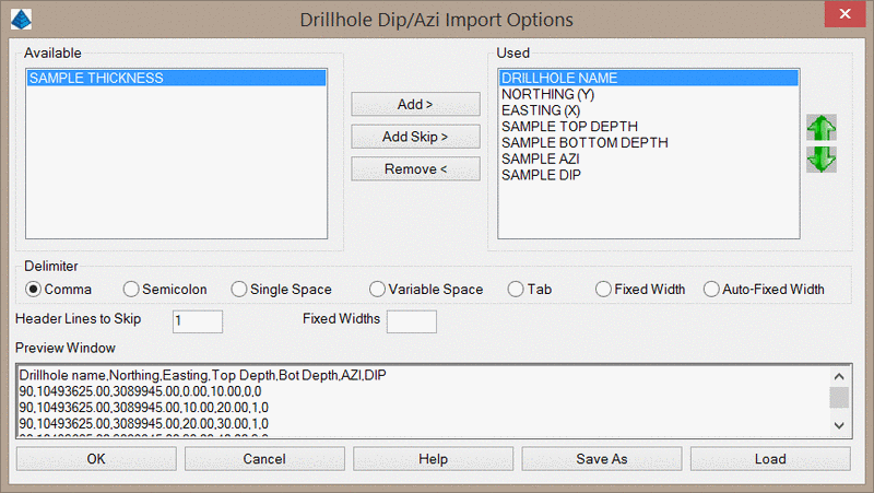
This command imports dip and dip azimuth survey data that does
not match the strata sample interval. For example, if a limestone
core is quality sampled on 2' intervals, but the dip and azimuth
readings are taken on a 5' interval, this command can be used to
keep track of the drillhole dip without modifying the sample
interval. This command will import the dip/azimuth information to
each drillhole's Dip/Azimuth Table rather than applying the
dip/azimuth values as new strata attributes.
When the command is executed, you will be prompted to select the
drillholes to update. After selecting the drillholes, you will be
prompted to select a text file containing the dip/azimuth data. The
file must include the drillhole name or the drillhole
Northing/Easting. After selecting the file, the below dialog will
appear. Here you can specify which keyword matches each column in
the text file. To add the dip/azi information, you must specify the
top/bottom depth values or thickness values for each
sample.