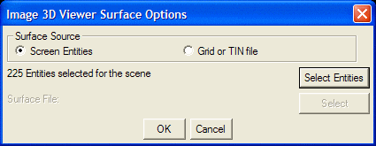
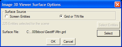
This command provides a 3D Viewer that can be used to show a
georeferenced image draped over a corresponding surface. You
are first prompted to select the image, and then a dialog appears
in which you specify the source of the surface information.
The surface can be either a surface file, or 3D Face entities in a
drawing.
 Pulldown Menu Location:
Images
Pulldown Menu Location:
Images
Keyboard Command: view_geotiff
Prerequisite: 3D Faces or TIN or GRD file for surface and
corresponding georeferenced image file