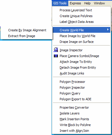
The GIS Tools menu shown below has commands for processing polyline perimeters, images and other utilities.