Coords from Station Offset
This feature allows you to calculate and store a coordinate point
for any given station and offset along an alignment defined by a
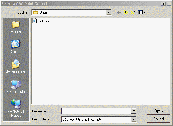
point group. Use the Select a C&G Point Group File dialog to
open a point group file.
.
Enter Offset <0.00000>: Enter the offset distance from the
alignment.
The point ID, station, offset, northing, easting, elevation and
description will be printed at the command line and written to the
print file.
You may repeat the process until you have calculated all the
desired stations or press D then <Enter> to exit the
command.
Note: If Elevations
are set to “Calculate” and Elevation is on, (See General tab of the
C&G Options dialog) then you will be asked to “Enter constant
elevation change for offset points”. The constant elevation change
will be added to or subtracted from the calculated elevation of
each newly created point on the alignment. If there is vertical
curve information contained in the point group, this information
will be used to calculate the initial elevation of each point. If
there is no vertical curve information, the elevation of each new
point will be calculated by interpolation between the elevations of
the points contained in the point group.
Prompts
Enter Starting Station [Done]
<0.0000>: You can Press <Enter> to use the
default station shown, or you can enter a new starting
station.
Enter station [Interval]
<0.000000>: Enter a station expressed as a decimal
number. Type "I" and Enter to specify an interval or,
alternatively, you can precede the station number with a “+”.
This will cause stations to be automatically calculated based on
the value you specify.
If you choose Interval in the previous prompt:
Enter interval: Enter the
desired interval for automatic generation of stations.
Enter offset (+ = right, - = left)
<0.000000>: Enter the offset distance from the
alignment.
Pulldown Menu Location:
CG-Survey > Cogo > Station Offset
Keyboard Command:
cg_crds_from_staoff
Prerequiste:
coordinate file, point group file defining the alignment