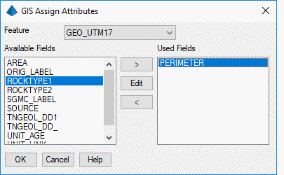
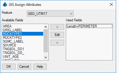
This command capture CAD properties data from selected entities
and assigned them to entities's GIS values. The user needs to
select GIS Feature from the drop down button and add the desired
fields from the right combo box to the left combo box.
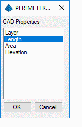
Then the user need to match the GIS field with CAD
Properties.
Pulldown Menu Location: GIS Data > Data Capture
Keyboard Command: giscaddata
Prerequisite:
Linework and defined GIS feature