The Project Settings dialog allows the user to modify various project-wide settings that fall under three categories: Units and Ranges, Naming Conventions, and 3D Viewer Settings. It is usually best upon creation of a project to first go to this dialog and make sure that these settings are ideal for the work to be done.
The Units, Precision, and Ranges page of the Project Settings dialog allows the user to specify their desired working units and their desired ranges for color values retrieved by the scanner.
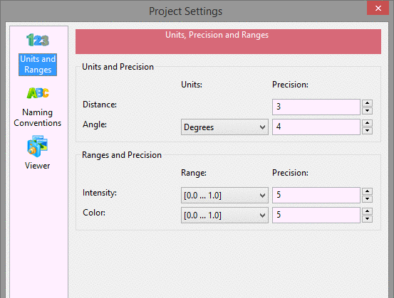
These values will be internally used by Point Cloud and any values exported from Point Cloud or drawn to any CAD software will be in these units. PointCloud no longer differentiates between feet and meters because most scanners do not include this information in their exported scans,command making it impossible to automatically convert. If you need to convert between distance units, use the Scale Cloud command.
The Naming Conventions page of the Project Settings dialog allows the user to specify the default naming behavior for each of the major item types in Point Cloud.
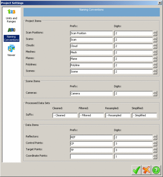
By default, when objects are created they will be given the
names specified in the Naming Conventions dialog followed by the
smallest number with the specified number of digits that will give
it a unique name. For instance, using the above settings, if a
project already has "Mesh 01" and "Mesh 02" objects and the user
creates a third mesh, this third mesh will be given the default
name of "Mesh 03". Additionally, the user can also specify suffixes
to be added to datasets after they have been processed in some
manner. Given the above settings, if a mesh, "Mesh 01", were
simplified with the above settings its simplified mesh would be
given the default name of "Mesh 01 - Simplified 01". In most cases
where new objects are created, the user will have the option to
change the new object's name from the one automatically generated
from these settings.
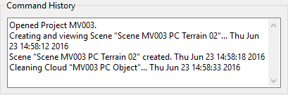
Command History - selecting Log Command History to File will create a file that will capture all of the commands and processes that were used in each project. Selecting Show Timestamp in Command History Panel will show the times when each recent command was used.
Added function to report the history
and added option to time stamp each command in the
historyw
The Viewer page of the Project Settings dialog allows the user to customize various settings of how the Point Cloud viewer window looks.
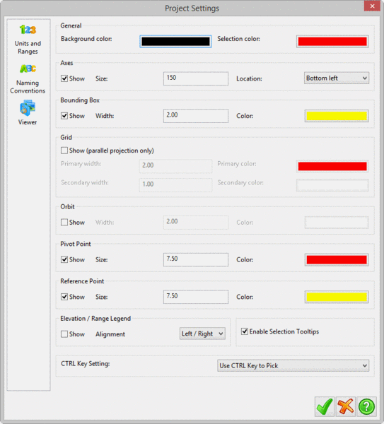
The Axes options specify the size of the orientation axis as well as its relative position in the viewer. The axes show the orientation of the three axes with respect to the current camera's view direction. Its size is in pixels, so the axes will not scale with the window size.
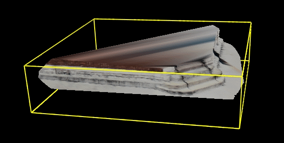
The bounding box options specify the size of the lines (in pixels) that outline the extents of the current object in the viewer as well as their colors.
The Grid options specify whether to draw a grid when in parallel projection mode, as well as the grid line sizes and their colors.
The Orbit options are for drawing a graphical orbit on screen, which is useful for restricting camera movement along a specific axis. When working with the orbit control, dragging with the mouse starting in the small circles on the left and right locks the camera to the x axis, while starting in the circle on the top and bottom locks it to the y axis. Starting a mouse drag outside the big circle locks the camera to the z axis.
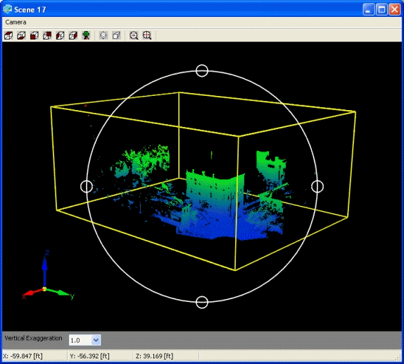
The Pivot Point and Reference Point settings specify the size and color of the points drawn to represent the current pivot and the current reference point, respectively. The pivot is the current pivot for the camera, which the camera rotates around in Orbit mode and the reference point is the current point of reference which is used in the data page for relative distance checks and some other functions.
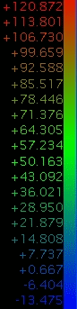
The Elevation / Range Legend options specify whether to draw the legends for these values (if the current dataset being viewed has consists of Elevation or Range data). These legends show the elevation / range values associated with colors values for objects colored by elevation / range.
Prerequisite: Open Point Cloud project