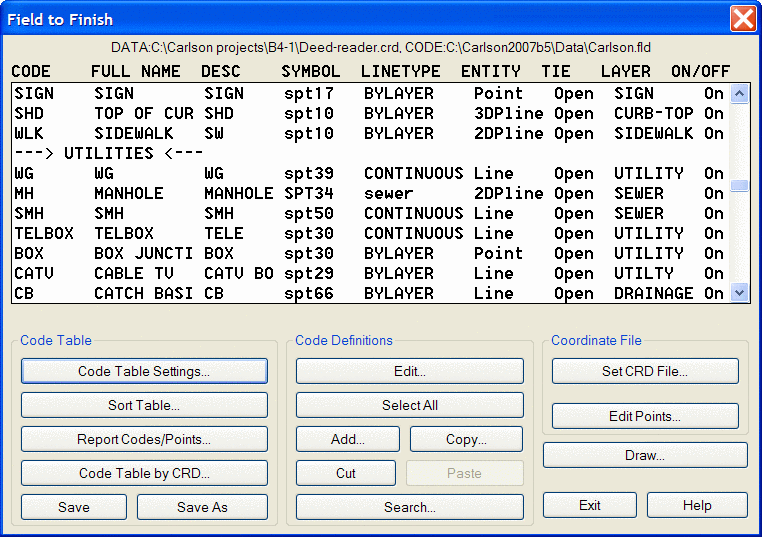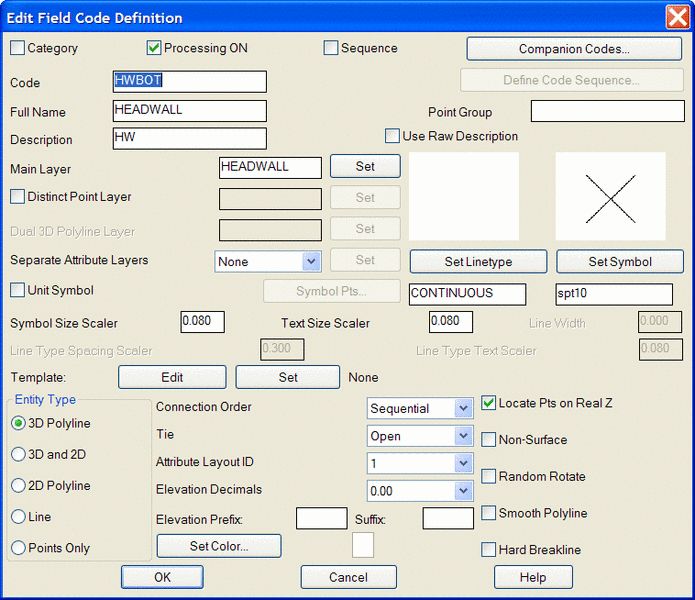
The complete range of Survey functionality is contained within the Carlson Civil, and is also available in the Carlson Survey program. This includes communication with data collectors, editing and processing of raw survey data, including traverse adjustment, and Field to Finish, which controls the generation of point symbols and linework.
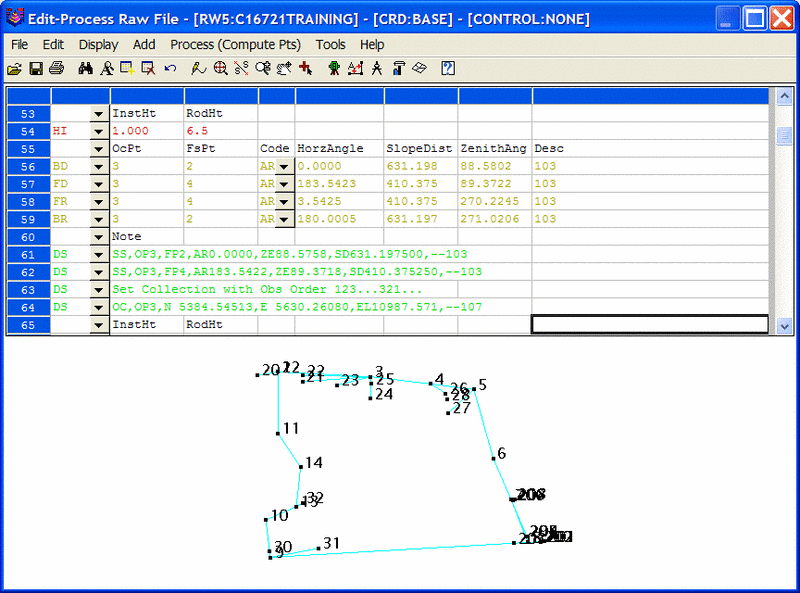
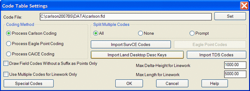
Land Desktop uses Description Keys for point-based symbol insertion, and Autodesk Survey uses Figure notation for the generation of linework. Autodesk requires field coding to produce linework, and the processing of that information takes place when the raw file (.fbk) is Imported. Carlson inserts symbols and linework with one function known as Field to Finish (F2F), and performs this task using the point descriptions from the coordinate file, not the raw observations file. So linework can actually be generated from any set of points, even if no field coding has taken place. However, the addition of field coding can certainly make the generation of linework more precise. Carlson Civil can use LDT Description Key file to start a Field to Finish Code File.