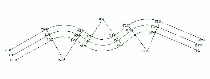
Right-of-Way/Easements

The Right-of-Way/Easements feature allows you to compute offsets left and/or right of an alignment.
After the alignment points have been entered, offset points will be created to the left and right of each point you specified in the alignment. If Auto Point Numbering is on, the calculated points will be stored in the coordinate file. Depending on your settings for Auto Line Plot and Auto Point Plot in the Graphic tab of the C&G Options dialog, the new points and lines may also be drawn.  If Auto Point Numbering is off, you will see the Saving Point dialog and can accept or change the default point number and other information associated with the point.

Prompts

Enter offset right<0.000000>: Enter the offset to the right of the alignment.
Enter offset left<0.000000>: Enter the offset to the left of the alignment.
Method for specifying center line points [Point group/Manual entry] <P>: To use a point group type "P" and Enter or just Enter and select the point group from a file dialog box.  Type "M" and Enter to specify the alignment interactively.

Pulldown Menu Location: CG-Survey > Cogo > Roadways
Keyboard Command: cg_rw
Prerequiste:  coordinate file containing points defining the alignment