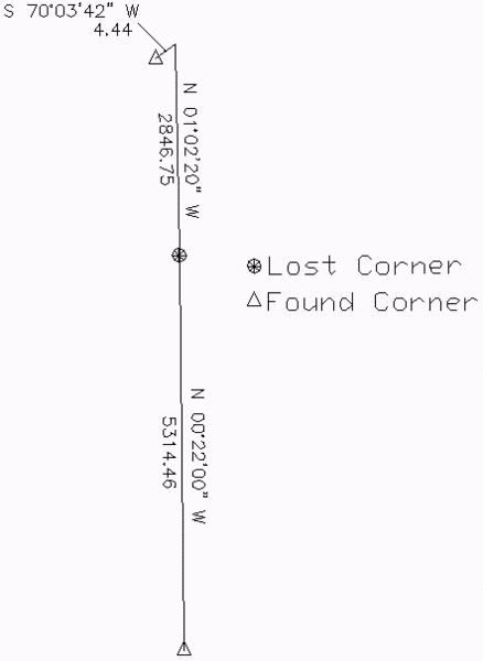
This command adjusts
angle/distance courses between two control points. This adjustment
applies to boundaries that are not established as straight lines
and are termed "irregular". A modified form of single proportionate
measurement is used by this method to restore the lost corners. To
apply the geodetic lengths and angles with this adjustment, the
grid projection must be set under Drawing Setup before running this
command.
For input, this command
takes reference coordinates for the starting and ending points
either by screen pick or by point number. Then the record angles
and distances between these two reference points are entered. The
program reports the input data, the recalculated points and the
adjusted angles and distances.
Pulldown Menu Location: COGO > Geodetic
Prerequisite: Two control points and record courses
Keyboard Command: geoirrb