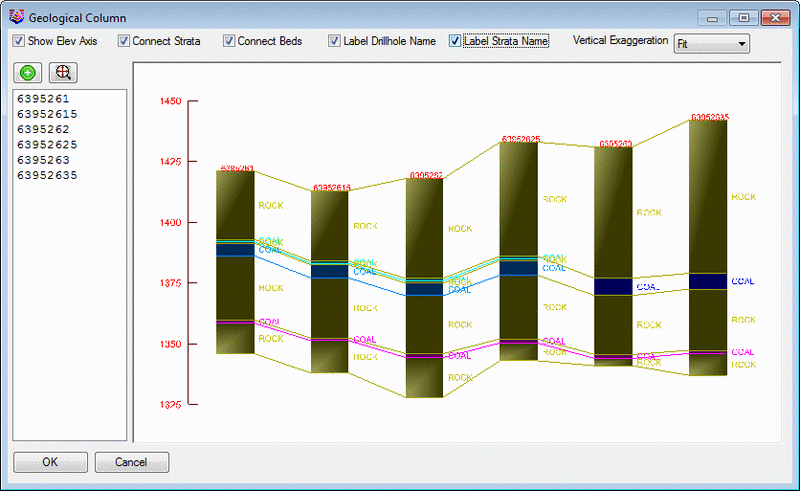
This command displays a section of drillholes as geological columns that are connected by a polyline fence line. This is an useful command to do quick views of correlations, depths and elevations of drillholes in a section, fence view. Before running this command, there needs to be a polyline drawn to the drillholes that are to be displayed. The seams colors are specified in the Define Strata command prior to running this command. There are options to Show Elevation Axis on the left, to Connect Strata and Beds, to Label Drillhole Name, and to Label Strata Name. The Vertical Exaggeration has an option to fit them to the window, or set the scale.
Select Fence alignment
polyline: (select the polyline drawn to the holes)
Maximum drillhole distance from
alignment polyline <100.0>: (this is the distance it
will search from the line to include the holes in the section)
Select Drillholes for geologic
column. (select with a window or pick)
Select objects: Specify
opposite corner: 6 found
Pulldown Menu Location: Drillhole
Keyboard Command: qgeocol