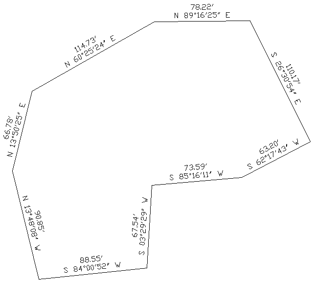
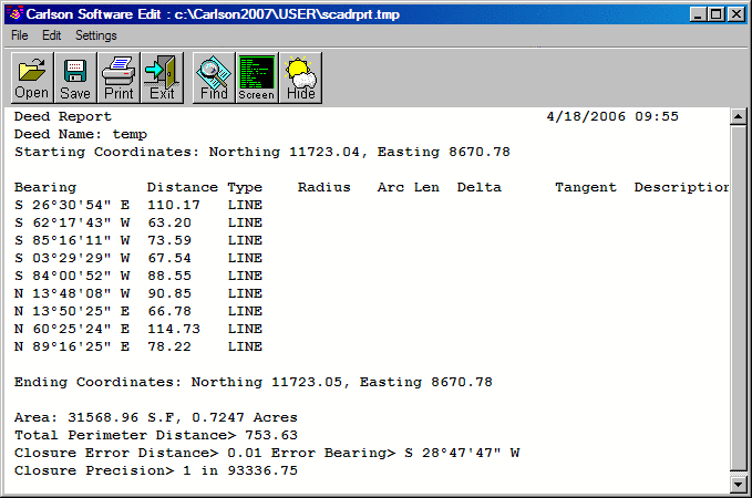
This command allows you to check the closure of a figure, and
produce a report from the Distance and Bearing labels in the
drawing. The command works by prompting for a polyline and a sample
of the text labels. Then the program looks for text on the sample
layer and matches the text labels to the polyline segments. The
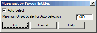
text to process can be selected manually or automatically using an
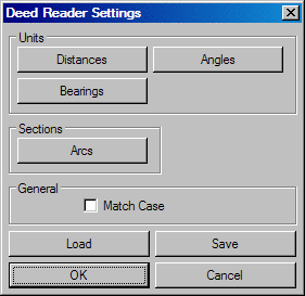
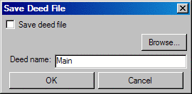
offset factor from the polyline. The Deed Reader command is used here also,
for extracting the deed line and curve data from the text of the
deed. The deed data can then optionally be saved to deed
file.
Select linework to process: select polyline for the figure
Select sample text: select
a label
Pulldown Menu Location: Survey
Keyboard Command: textdeed
Prerequisite: Distance and Bearing labels