 .
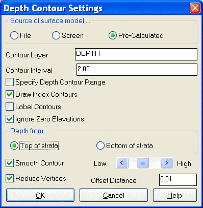
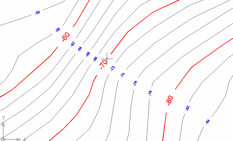
.This command creates contours for the depth between the surface
and strata. The surface models for the ground and strata are
modeled by grid if coming from the screen entities and drillholes.
When using the Geologic or Mining Model file, the list of strata
appears to select which strata to use. Specify Depth Contour Range
allows for a starting and ending contour elevation. There is the
option to contour the depth to either the top or the bottom of the
strata. Options are at the bottom for smoothing and reducing the
contour vertices. This is basically the thickness from the
topography to the top or bottom of the strata. This grid could also
be made in Grid File Utilities, but this is a quick way to get the
contours without gridding first.
.
Pulldown Menu Location: StrataCalc in Advanced Mining and
Mining
Keyboard Command: depth