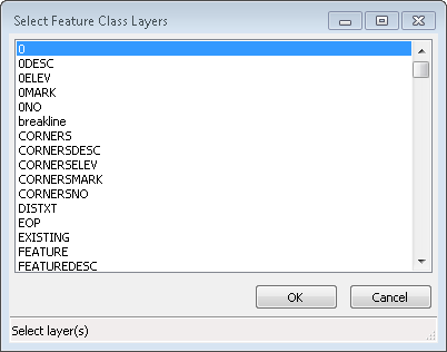
The Define Feature Class By Layer command adds Feature Class data to the drawing so that when the drawing is brought into ArcGIS the CAD graphics can be converted easily to Esri feature classes. When executed a layer selection dialog box is presented.
Multiple layers can be selected from the list using standard Windows selection methods using the Shift key or the CTRL key.
Clicking the OK button accepts the selected layers and the Feature Class data is added. The results of the command are displayed on the command line.
Pulldown
Menu Location: GIS Data > Define
Feature Class By Layer
Keyboard
Command: emscDefineByLayer
Prerequisite: Drawing with CAD layers and
entities