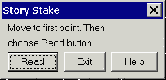
This command creates a report of cut/fill slopes and distances
of a design surface from a starting point. First you move to the
starting point and then take a reading from the instrument to get
the starting point coordinates. This starting position is shown in
the drawing. Next you pick a point in the drawing to define the
direction. The drawing should contain the design surface entities.
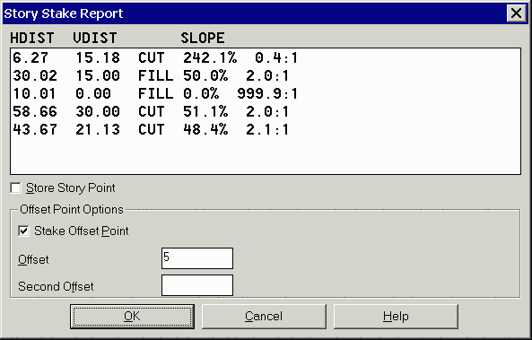
The program will then calculate all the intersections with contours
and 3D polylines between these two points. The resulting horizontal
distances and slopes are shown in a report dialog. From this
dialog, there is an option to stakeout one or two offset points set
back from the starting point at the specified offsets.