
This command is a one step reserve classification analysis. The purpose of the analysis is to estimate quantities and qualities of the mine reserve, dividing it into various zones based on the distance to the closest drillhole. The reserve estimation is less reliable when the closest drillhole is farther away. Typically the following zones are defined by the following distances:
Measured <1320ft
Indicated >1320ft,
<3960ft
Inferred >3960ft,
<15840ft
Hypothetical
>15840ft

The next step is to define a strata name to search for in the
drillholes selected along with the quality name and name of the
grid file to use. The program processes each line in the list,
taking into account only drillholes which have strata specified and
calculating from the grid quality values for each zone.
Strata: This window is to
choose a strata or bed name that appears in the drillholes to
classify.
Quality: This is the
quality attribute to analyze, such as thickness, BTU, Calcium,
etc.
Grid: This is the grid name
that has been created from the drillholes. It will compare these
modeled values with the occurences and spacing in the drilling.
Match Both Strata and
Quality: This will make sure that the quality and strata
name both are defined in a drillhole. If just the strata name is
there, but no quality sample, then it will not be used as a sample
point that is measured.
Inc/Excl Layer: These are
the layers that the perimeters are drawn in.
Result Layer Prefix: This
is a prefix it will put in front of the output layer names.
Draw Polylines: This will
draw the perimeter polylines that contain the hatching for the four
classifications.
Draw Hatch: This will draw
the hatching inside the perimeters and boundaries of
classifications.
Skip Report: This option
just does the CAD graphics and mapping only, not generating the
report.
Assign Pit Names: This
option will give a Pit Name to each perimeter, so it may be used
for other volume calculations with commands such as Surface Mine
Reserves.
The command uses property lines, or at the least, an inclusion
polyline, to define the extent of the area of reserve. Nothing will
be calculated if there is no property line or standard inclusion
perimeter selected, and the following error will appear.
 The owner name associated with the property
line will also be reported, making estimation of royalties an easy
task. Optionally, the inclusion perimeter may be specified to limit
area of calculations.
The owner name associated with the property
line will also be reported, making estimation of royalties an easy
task. Optionally, the inclusion perimeter may be specified to limit
area of calculations.
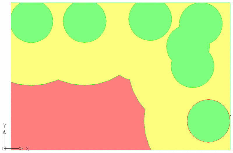
The results are shown as colored maps layerized by the chosen
quality, with color changing based on the corresponding reserve
class.
Select Reserve File dialog
Reserve Classification dialog
Select Drillholes to process: select drillholes to use in
calculations
Select Inclusion polyline:
Report Formatter Dialog
Pulldown Menu Location: StrataCalc
Keyboard Command: reserve_class